


 Deutsch
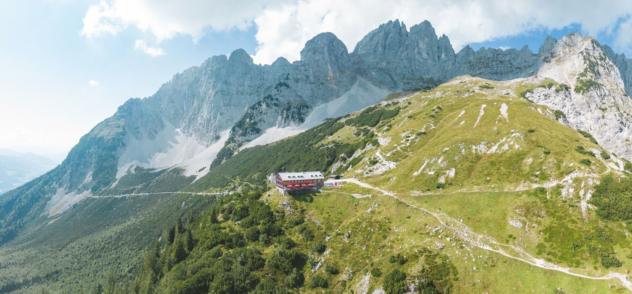

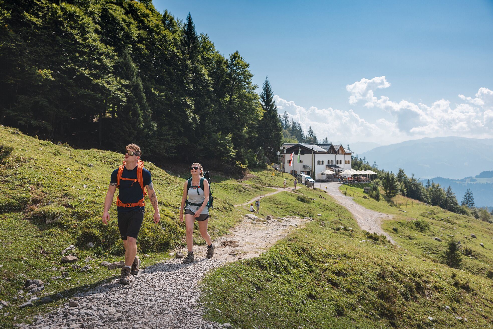

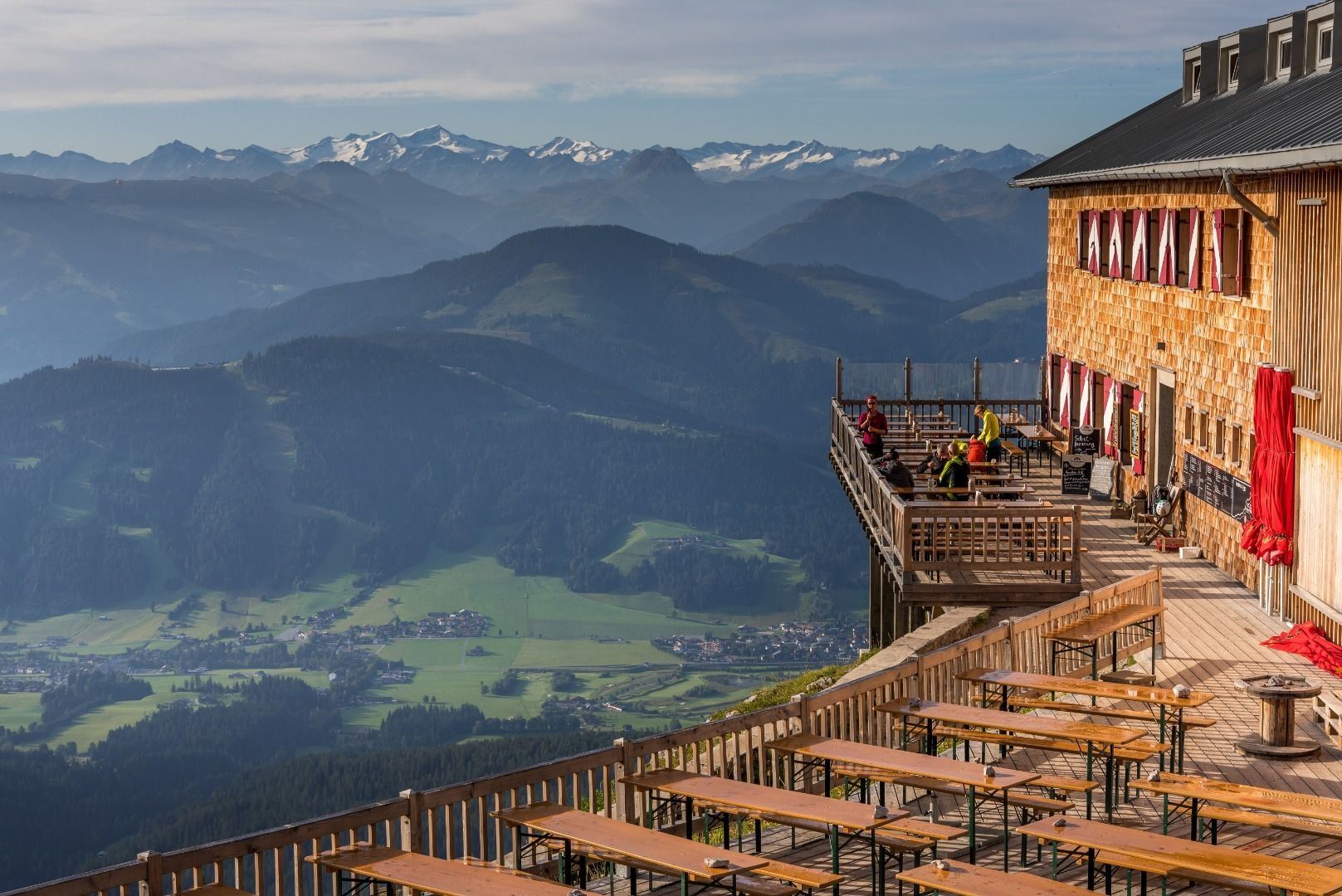

Gruttenhütte (Hut)
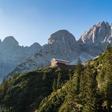
Cosed - Open from 25.05.2024
Ellmau
(0043) 5358 43389
Read more
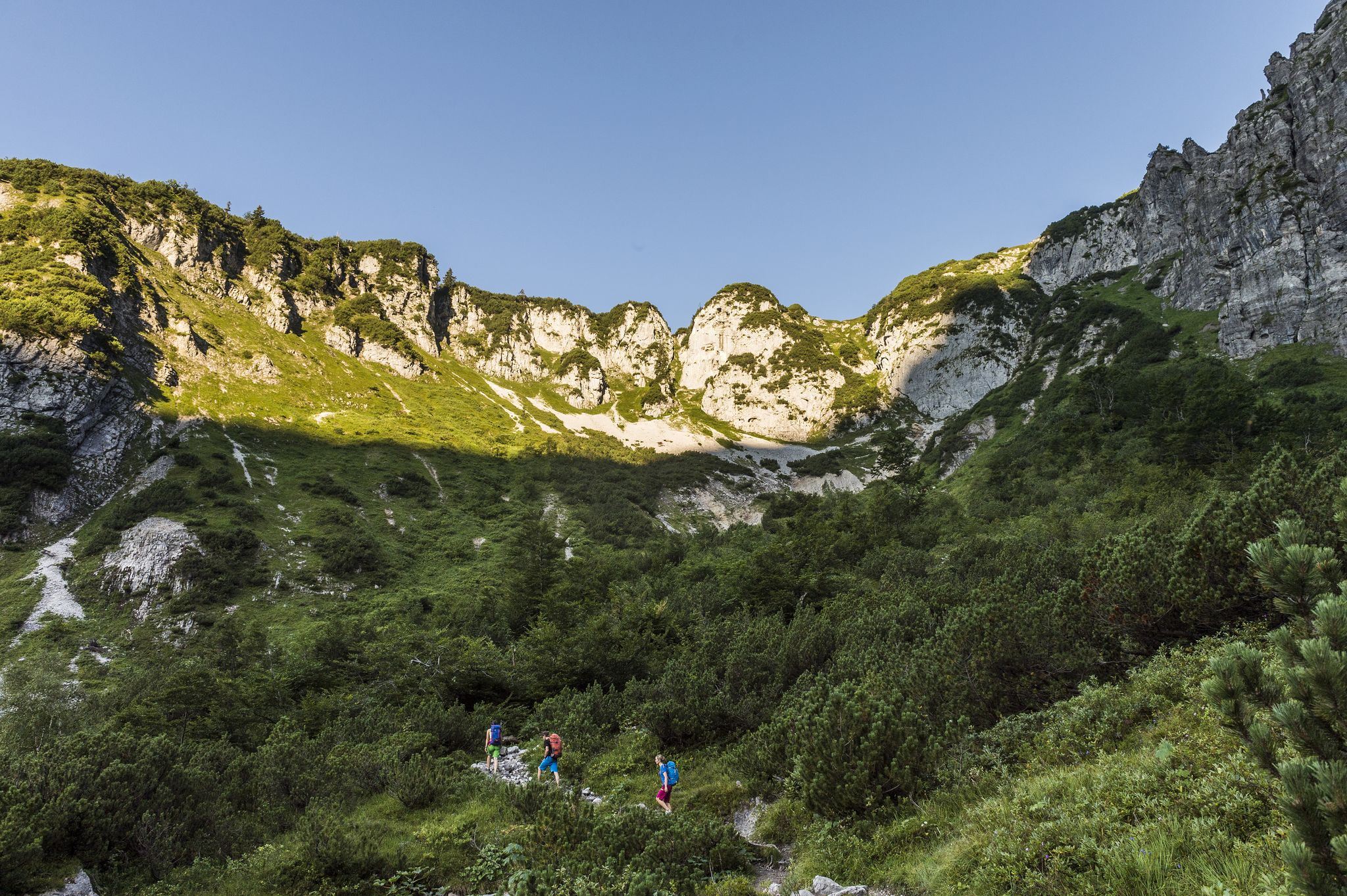
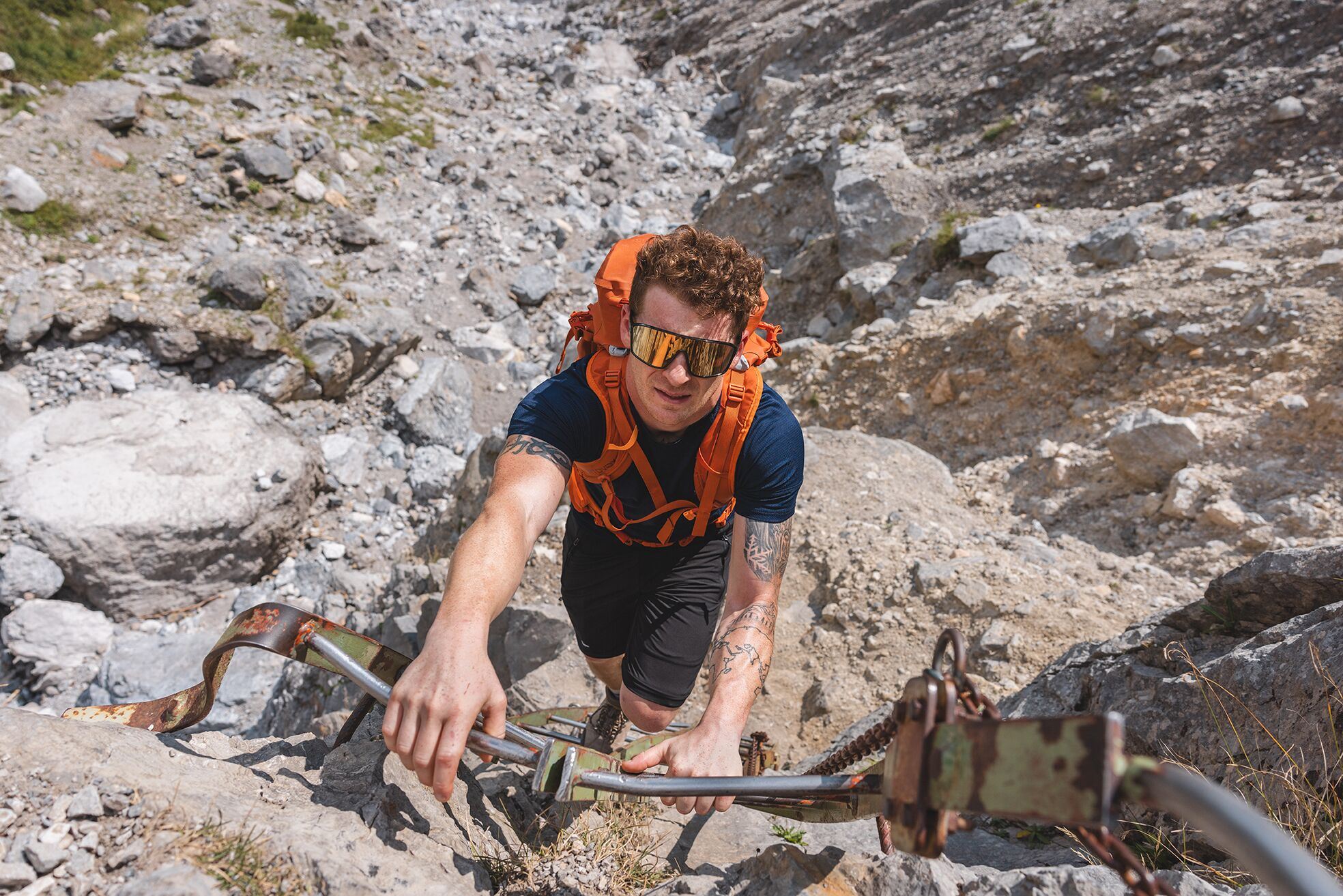
The composition of the trail varies between forest roads, paths featuring secured passages in certain cases, meadow and forest trails and short sections of asphalt. Surefootedness and a good head for heights are essential if you want to take on the Klamml!
Rucksack, hiking/mountaineering boots, hiking gear (breathable), sun protection (sunglasses, sun cream, headgear), waterproofs (hardshell), water bottle, food for eating on the way, hiking poles if desired, first aid kit, plastic bag for waste, hiking map
Read more
KaiserJet stop “Going Badesee” or “Going Dorf” (depending on where tour starts) or Postbus stop “Going Stanglwirt” or “Going Dorf”.
More information at: www.wilderkaiser.info
Heading from Wörgl or Kufstein on the B178 road, take the exit to Going. Pass the Tourist Information office and turn sharply right just after the bridge. Pass the supermarket "M-Preis" and turn left after the "Schedererhaus" and immediately right again in front of the ski school.
Heading from St. Johann on the B178 road, take the first exit to Going and drive through the village. Before the bridge turn diagonally left. Pass the supermarket "M-Preis" and turn left after the "Schedererhaus" and immediately right again in front of the ski school.
Public car par Schedererfeld, Going (780 m) - free
Read more
Fitness
Technical
Experience
01
Jan
02
Feb
03
Mrz
04
Apr
05
May
06
Jun
07
Jul
08
Aug
09
Sep
10
Oct
11
Nov
12
Dec
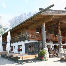
Cosed - Open from 25.05.2024
Ellmau
(0043) 5358 43389
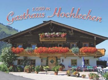
Open - Today 09:00 - 19:00
Ellmau
(0043) 5358 2180
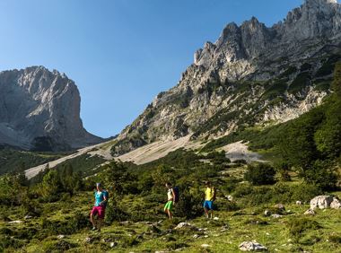
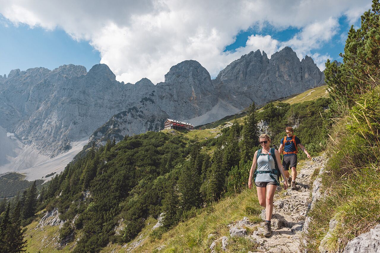
Wilder Kaiser hike to a series of special locations. Featuring the natural spectacle of the Schleier Waterfall and a view of the Gaudeamushütte mountain hut.
Hüttling, Going (820 m)
Hüttling, Going (820 m)
Hiking
Intermediate
6:00 h
13,6 km
980 Elevation gain
Old path - now renovated and featuring a pleasant series of ascents and descents.
Hiking starting point Bergbahn, Söll (725 m)
Hiking starting point Bergbahn, Söll (725 m)
Hiking
Intermediate
4:30 h
13,5 km
470 Elevation gain
Gruttenhütte - Kaiser-Hochalm - Steiner-Hochalm - Jägersteig - Walleralm - Hochegg - Kaindlhütte
Gruttenhütte, Ellmau (1,620 m)
Hintersteiner See, Scheffau (889 m)
Hiking
Intermediate
5:30 h
13,5 km
560 Elevation gain
Over hill and dale through idyllic nature up to the Rauhen Kopf.
Astberg Bergstation
Astberg Bergstation
Hiking
Intermediate
4:45 h
13,1 km
620 Elevation gain
Sturdy boots will help keep your ankles and feet happy on this hike, full of the best things Tirol has to offer: well-maintained trails, wildflowers galore and waterfalls beckon the adventurous
Rummlerhof, St.Johann in Tirol
Gaudeamushütte
Hiking
Intermediate
5:00 h
13,0 km
1060 Elevation gain
Alpine pasture circular hiking route with a breathtaking view over Scheffau!
Hiking starting point Tourist Info, Scheffau (738 m)
Hiking starting point Tourist Info, Scheffau (738 m)
Hiking
Intermediate
5:15 h
12,9 km
800 Elevation gain
2024-04-28
16 °C
2024-04-29
22 °C
2024-04-30
24 °C
2024-05-01
23 °C
